Application need
Provide the crop, requested application and anticipated timing.
South Dakota • Minnesota • North Dakota
Connect with experienced, GPS-guided aerial crop application for fungicide, insecticide, herbicide, fertilizer and cover-crop needs.
A practical regional resource
Aerial application can help growers respond when crop timing is tight, field conditions restrict ground equipment or large acreages need efficient coverage. This page brings the major application options, service-area information and field-request process together under one easy-to-remember address.
Application services
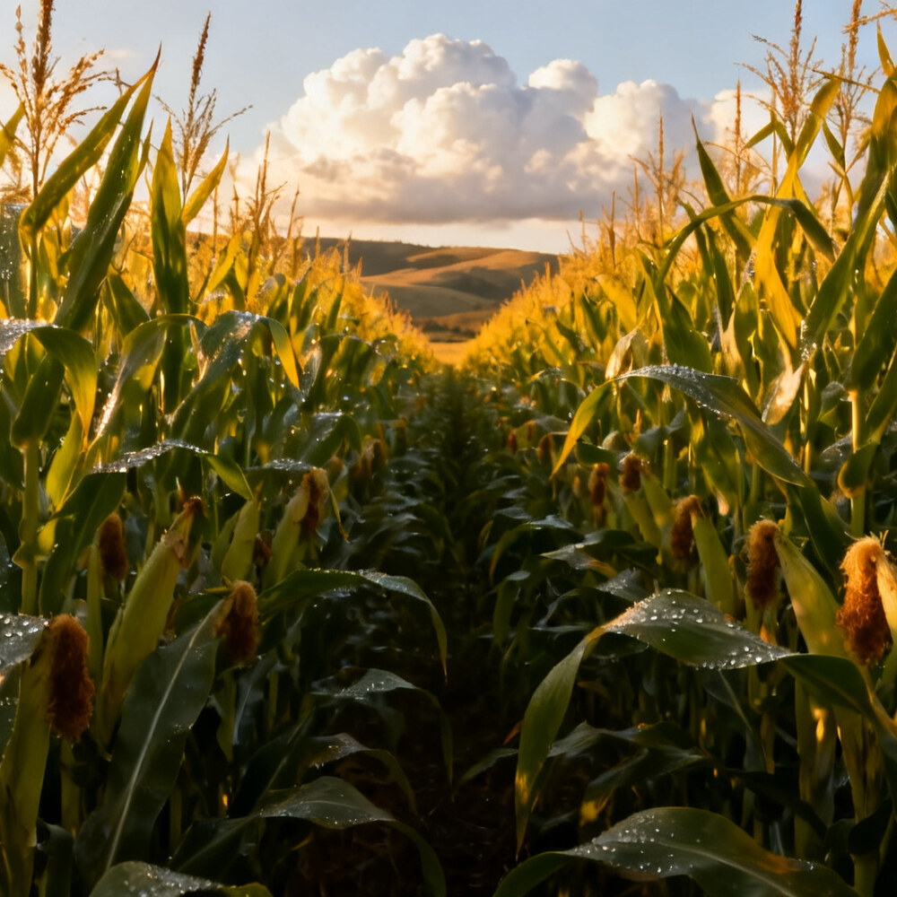
Timely crop-disease protection when yield potential is on the line.
Service details →
Responsive treatment when scouting identifies damaging pest pressure.
Service details →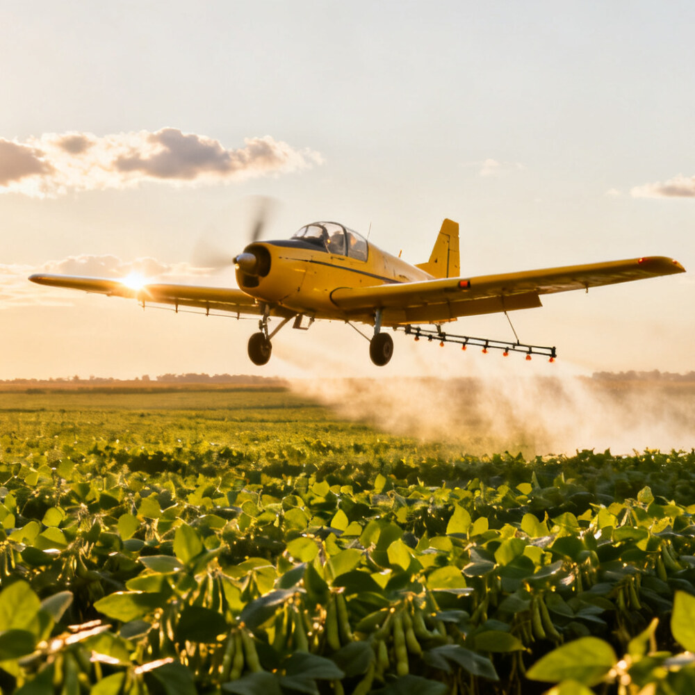
GPS-guided application for appropriate labeled weed-control needs.
Service details →
Efficient nutrient application without driving through the standing crop.
Service details →
Earlier seeding opportunities that can extend the establishment window.
Service details →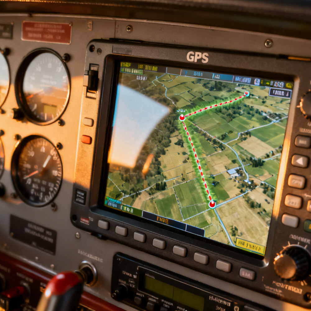
Clear field boundaries and legal descriptions support accurate job planning.
Send field maps →Tri-state service area
Primary service availability centers on northeastern South Dakota and western Minnesota, with southeastern North Dakota requests considered according to acreage, timing, weather and scheduling.
Every application depends on suitable conditions, label requirements and aircraft availability. Calling early provides the best opportunity to discuss expected acres and application windows.
How to prepare
Provide the crop, requested application and anticipated timing.
Include the section, township and range for each requested field.
Upload up to five PDF, JPG or PNG maps showing accurate boundaries and field locations.
Regional service provider
Reimche Airspray provides professional aerial application from its Milbank-area base using GPS-guided field information and direct communication with growers.
Common questions
Requests are accepted across northeastern South Dakota, western Minnesota and parts of southeastern North Dakota. Availability depends on field location, acreage and scheduling.
Yes. The secure request form accepts five separate PDF, JPG or PNG field maps along with the legal land description and contact information.
Contact the provider as early as practical. Weather and crop conditions can change quickly, and advance field information supports better scheduling.
Service requests from this page are fulfilled by Reimche Airspray LLC, based near Milbank, South Dakota.